Topographic surveys and cartography
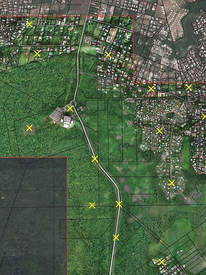
Sentinel assists you in all your missions requiring 2D or 3D modeling of your land or infrastructure. Sentinel carries out the photo capture and delivers complete and turnkey diagnostics according to your expectations.
Topographic surveys by photogrammetry
Precise solution
Our tools make it possible to obtain a resolution of less than 1cm, and a calibration precision of less than 3cm in the plane, 5cm in vertical.
Formats adapted to your needs
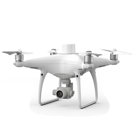
Our team processes the data acquired on the ground or by drone to provide you with the deliverables adapted to your needs and softwares.
Difficult to access sites
Particularly effective on large surfaces or difficult sites.

Topographic surveys by photogrammetry
Whether you work in an engineering company, in a surveyor or architect's firm, in the construction industry, or whether you are a community in charge of planning, these geospatial productions will be of great use to you in the success of your projects.
We have successfully provided the best possible solutions in photogrammetry in Guyana, Martinique, Guadeloupe.

Mines and quarry management
Sentinel provides autonomous, rapid and economical technical solutions for the management and operation of quarries or mines, by carrying out aerial maps and precise topographic surveys, to obtain 2D or 3D modeling of the quarry or mine.
This technique eliminates the risks associated with the movement of on-site personnel, surveyors or other technicians, no longer needing to travel to inspect or carry out surveys in the field.
Sentinel produces topographic plans, analyzes the data produced by calculating an extracted volume, or a high precision stock cubature.


